Get to Know Hamamatsu
- Watch
Sea Lake Report: Walking the Hime Kaidō from Anma to Kiga
The Honsaka Route, also known as the Hime Kaidō, was once a side route to the Tokaido. This time, we walked the section from Anma to Kiga and share what we saw along the way…
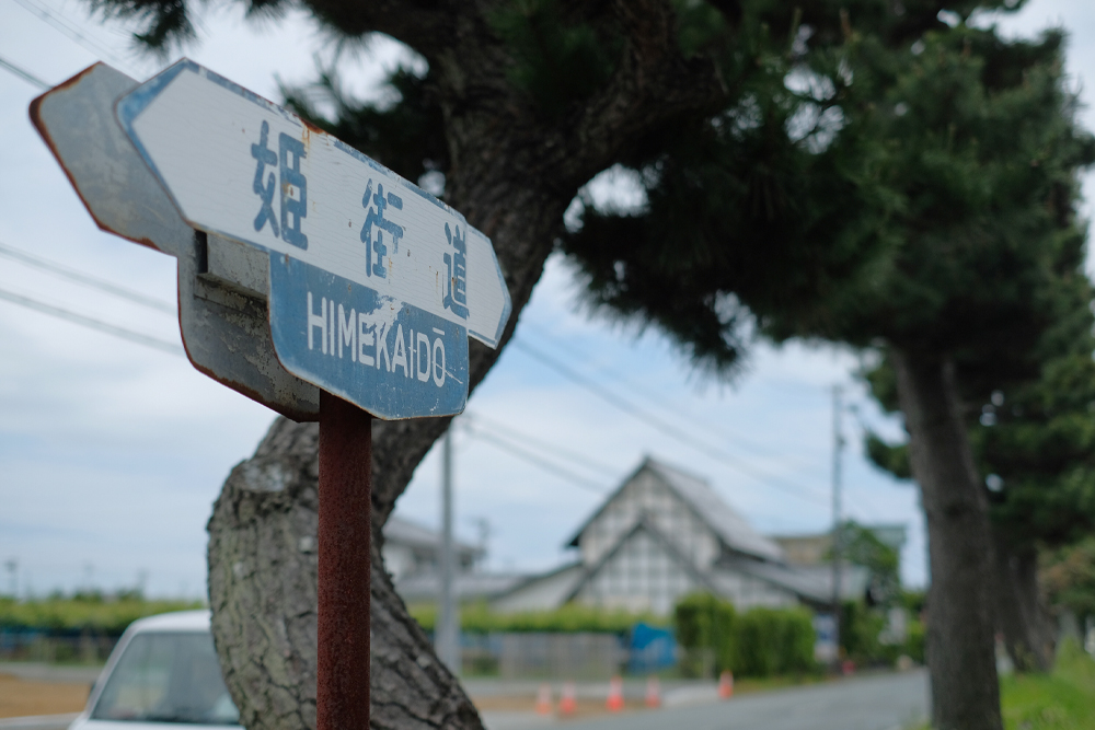
If you live in Hamamatsu, Iwata, or Kosai, you’ve probably heard of “Himekaido.”
It is a side road of the Tokaido that runs from Mitsuke-juku in Iwata City to Goyu-juku in Aichi Prefecture, north of Lake Hamana, and has been heavily traveled since ancient times.
At some point, the road that was once called Honzaka-Michi came to be called “Hime-kaido.”
I know about it and have driven past it, but I don’t think many people have ever walked there.
It might not be a bad idea to walk around your hometown and feel like a traveler from the Edo or Meiji eras.
For that reason, I decided to walk along Hime Kaido.
Since it would be impossible to walk all the way in one day, I decided to walk from Anma, which is the starting point for the Tokaido road, to Kiga, where I live.
Walk from “Anma” to “Kiga”
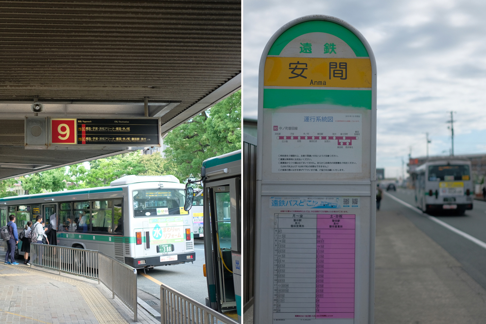
7am in the morning. I came to Hamamatsu Station bus rotary, which is crowded with people commuting to work and school. (by bus)
Board the bus again from platform 9 and ride for about 20 minutes towards Iwata Station. We arrived at the nearest bus stop to the starting point, “Anma”.
The old Tokaido runs just south of the bus stop, and Honzaka-Michi (hereinafter referred to as Hime-kaido) starts at Anma.
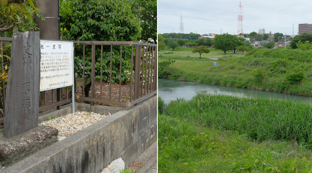
In the past, there was the Tokaido Anma Milestone near here, which also served as the Hime Kaido Milestone.
Although that milestone no longer exists, there are many remaining along the Hime-kaido Road, so they can serve as good landmarks when considering your walking pace.
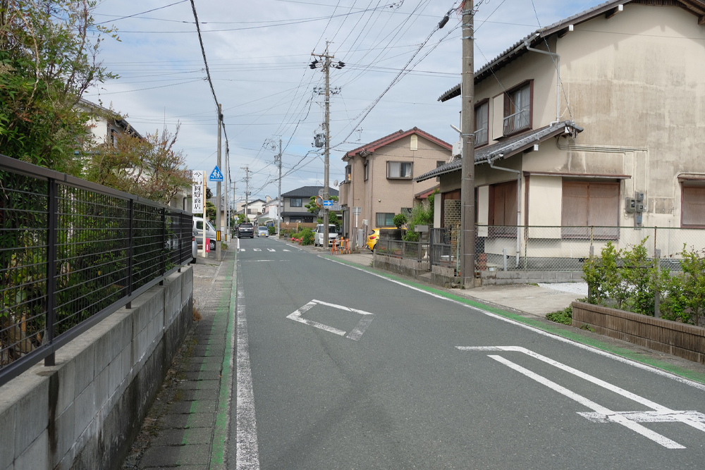
8am. Let’s start right away.
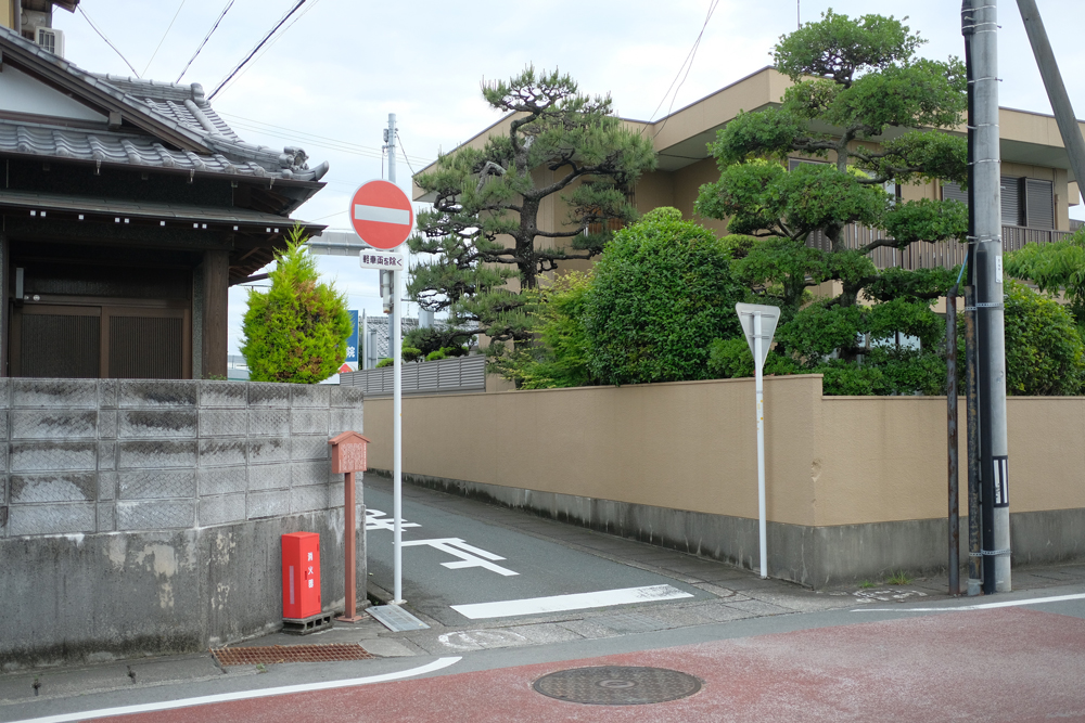
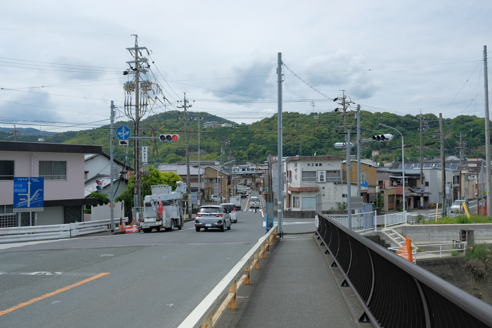
The road near the starting point is as narrow as it has always been, giving it a nice atmosphere, but it quickly widens.
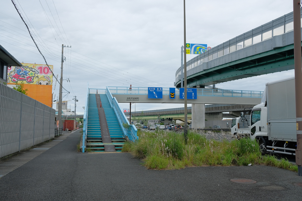
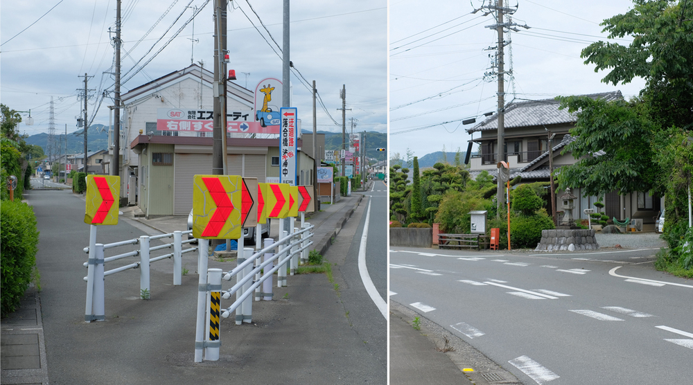
You will soon hit the National Highway No. 1 bypass. Many cars of all sizes crisscross the major highways. As we all walked along the Hime-kaido Road and the Tokaido Road, we walked across the pedestrian bridge, which did not exist at the time, and continued onward, feeling that this was a sight that would have been unimaginable in those days.
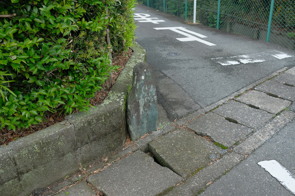
I like looking at signposts, so if I go to the trouble of walking along old roads,
I decided to keep an eye on my feet and look for old signposts.
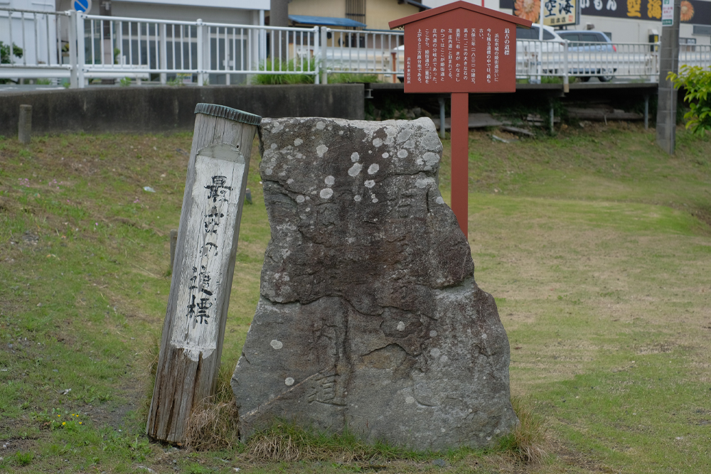
You can feel the history in the letters and place names carved into the stones that served as guideposts for travelers in the past, and even if you can’t read the letters, you can feel the passage of time in the appearance of the stones, chipped and covered with moss.
The reason why there are so many signposts on the roads in Hamamatsu City is “Hansobo”. Located in the precincts of Hokoji Temple in Okuyama, Inasa-cho, Kita-ku, Hansobo Daigongen has been worshiped by many people since ancient times as the god of fire suppression. For those pilgrims to Hansobo, there were many signposts indicating “the route to Hansobo (and other places)” and milestones indicating “the distance to Hansobo.”
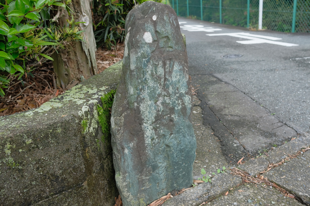
For example, this stone is a Riteiseki (milestone). It stands on the side of the road and is about 50 centimeters tall.
It’s hard to tell in the photo, but it’s carved with the words “Gorinijuurokucho” 1 ri is approximately 4 kilometers, which means that it is approximately 22.5 kilometers from this location to Okuyama Hansobo.
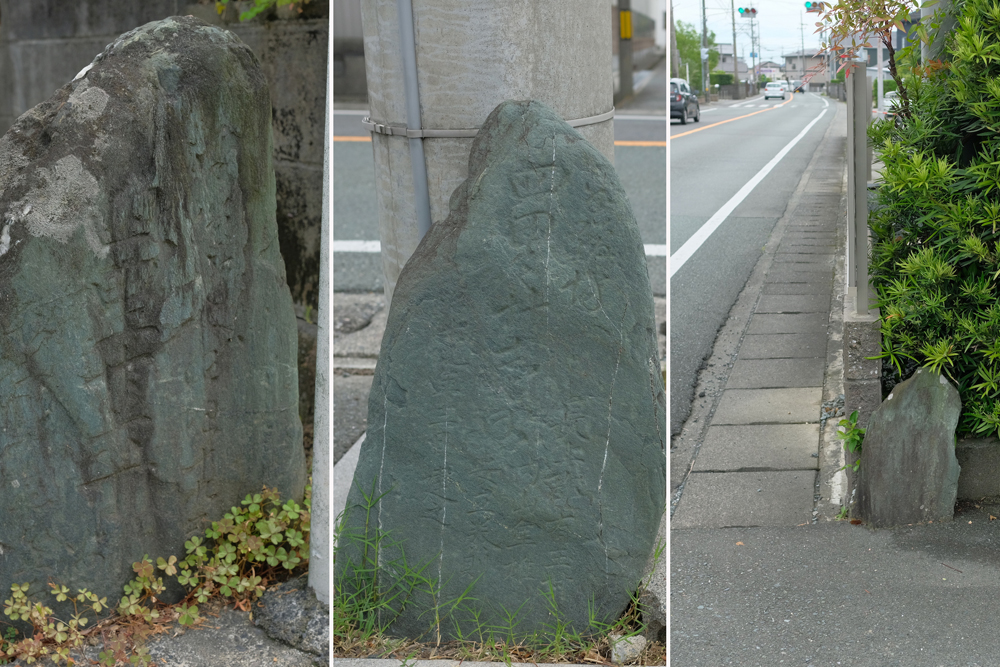
There are nearly 20 stone objects ranging from large ones to small ones in the area we walked this time, but many of them have disappeared due to road widening or land redevelopment, or are missing. I saw that many of the existing Riteiseki had changed in location and shape from several years ago.
Although it is not something that is necessary in this day and age, I would like it to remain forever as a witness to the blossoming of highways and highway culture.
After walking for about an hour, we arrived at our first post station, Ichino-juku.
Ichino-juku used to be a post station that spread from east to west, but there is almost no trace of it now. However, traces of those days remain along the route.
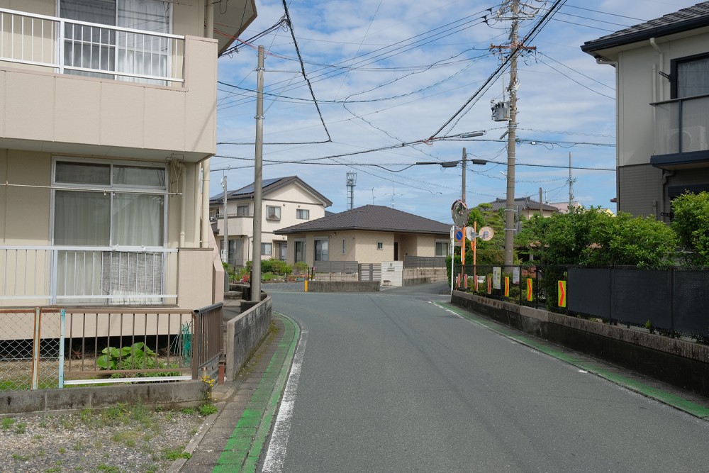
To enter Ichino-juku from the Amma direction, turn around the curve twice. When exiting to the west, turn south, then turn west again to pass through the inn.
This complicated path is called a “masugata,” and it has often been used at post stations as a defensive measure to weaken the force of foreign enemies that invade through complicated paths.
In Ichino-juku, the square shape (masugata) still remains, so you need to be careful about the outlook when driving past.
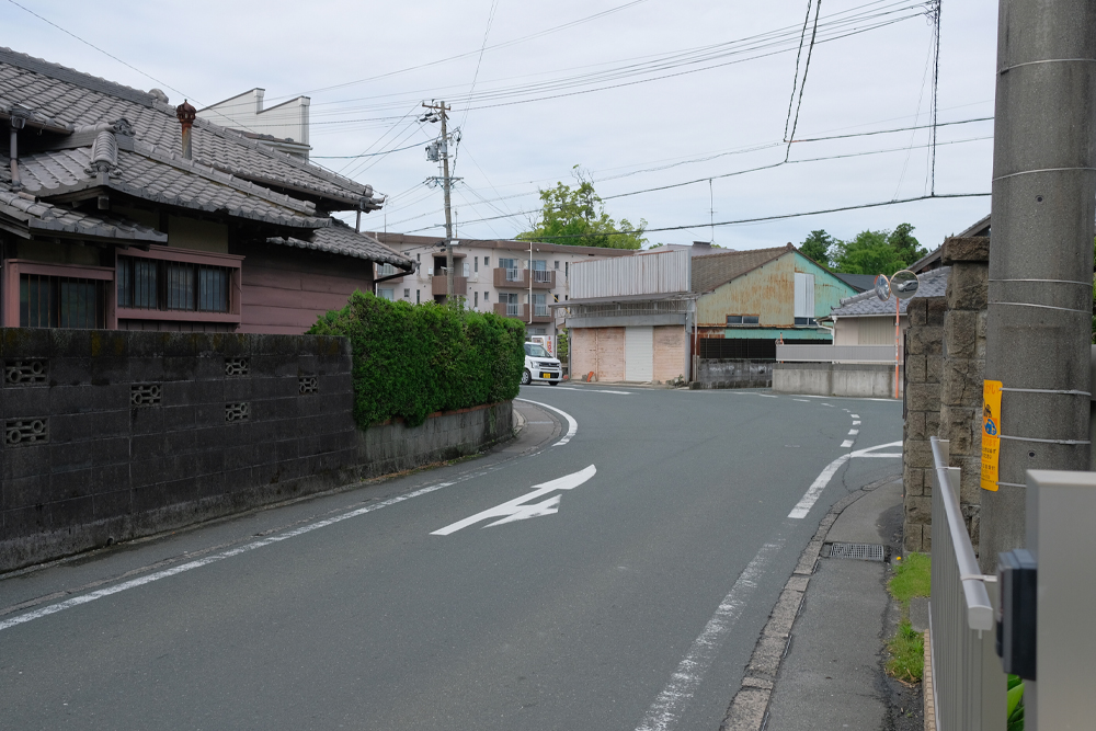
After leaving Ichino-juku and walking for about 15 minutes, the road winds a little and passes the Koike Ichirizuka Ruins, and from there it takes about 20 minutes to reach the Magome River. There are some small milestones in this area, but I had a hard time finding them because the materials I had and the current locations were different, perhaps due to the road widening, or the surrounding environment had changed.
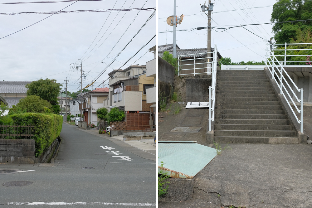
After crossing the Magome River, you will enter the old road. The narrowness of the road gives you a sense of the bygone era, but the slope continues from here.
There are even stairs in the middle, so you can’t drive up there.
On the way uphill. I found a signpost just where the new road intersects.
This is the oldest signpost on the Hime-kaido Road, placed at the junction of the road to Kiga/Kanasashi (Hime-kaido Road) and the road to Shonai, and is carved with the year 1832. I feel very grateful when I think that it has been a guidepost for people who pass by this place for nearly 200 years.
I take strength from the signpost and climb up the hill one more time.
Once you have climbed this hill, you will continue on a straight path for a while. This plateau is called the Mikatahara Plateau, and in the past it was considered a barren land where crops could not grow. As a result, there were no private houses or post stations, just a straight road leading to Kiga. Nowadays, the area is being developed and lined with large stores and private houses, but back in the Edo and Meiji eras, it was just a field.

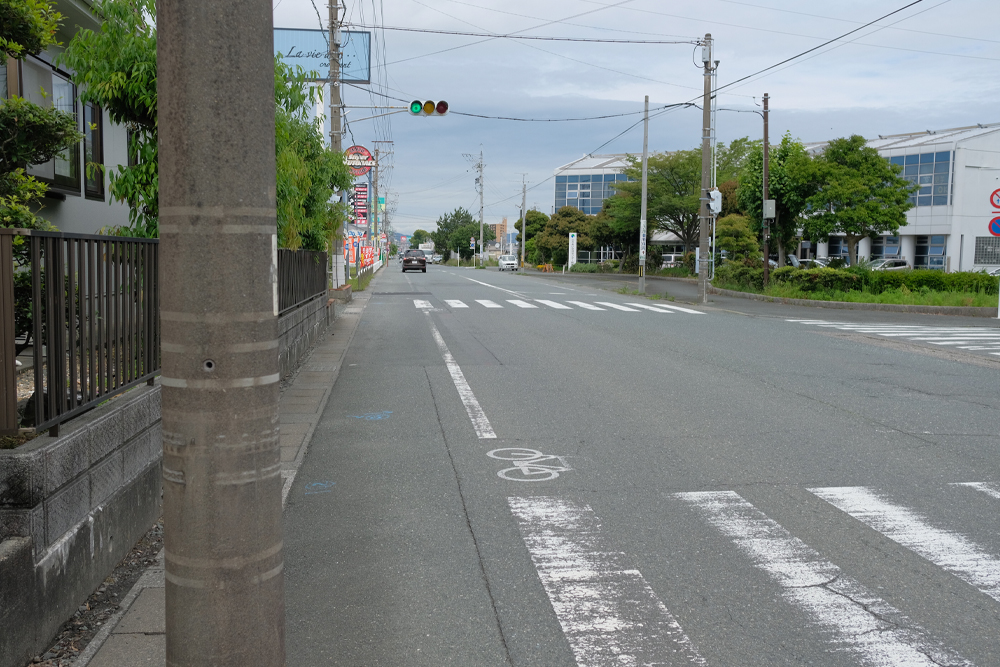
Continue straight while looking at the same scenery, and after passing the milestone of Oiwake, you will arrive at the large intersection “Mikatahara Oiwake.” Here, the two Hime-kaido roads that start from Anma and Hamamatsu-juku join together and continue towards Kiga. The Kanasashi Road leads north from here to Okuyama Hansobo and Horaiji Temple. There are two signposts in the center of this intersection. Please check it while waiting at the traffic light. (Be careful of traffic)
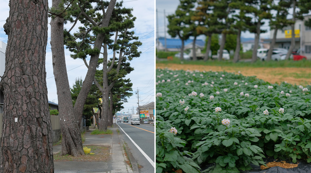
From here on, the road continues to be a straight line, but the road is a little different from before, and the rows of pine trees remind us of the scenery of yesteryear.
Many pine trees were planted along the Hime-kaido Road because they provided protection from cold winds in the winter and provided shade in the summer. Many of them have been lost due to road expansion and pests, but they still remain and are carefully preserved. Walk while looking sideways at the rows of pine trees and potato fields famous for their Mikatahara potatoes.
On the way, we branched off from the busy “Ima no Hime Kaido” and took the road on the left.
Further ahead, turn around Akiha Toro.
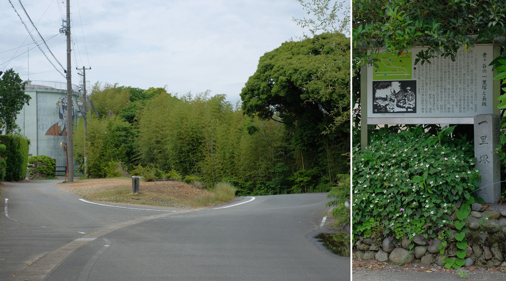
After walking for a while, you will come across Oigaya Ichirizuka. There used to be a teahouse near the mound, and on a clear day you could see Mt. Fuji, but now you can’t see the view.
Proceed from Oigaya Ichirizuka. Personally, I think this is the highlight of the Hime-kaido road in front of Kiga-shuku.
Can you guess where we are walking in the photo on the left?
The narrow road to the right of the tank in the photo is the old Hime Kaido.
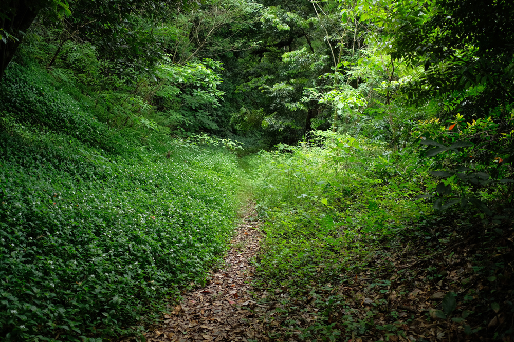
The road looks like this.
When you start from Amma and drive through the city, you might be surprised at how large the gap is.
While Hime-kaido itself is often widened, this area was re-routed to a different location, so the original Hime-kaido remained as it was.
As you can see, it is dense and there are many insects. After rain, the road surface becomes wet and slippery.
We strongly recommend that you do not go out wearing light clothing.
If you walk for about 10 minutes, you’ll be in the middle of nowhere (lol)
If you walk for about 10 minutes, you’ll be in a deserted area (lol).
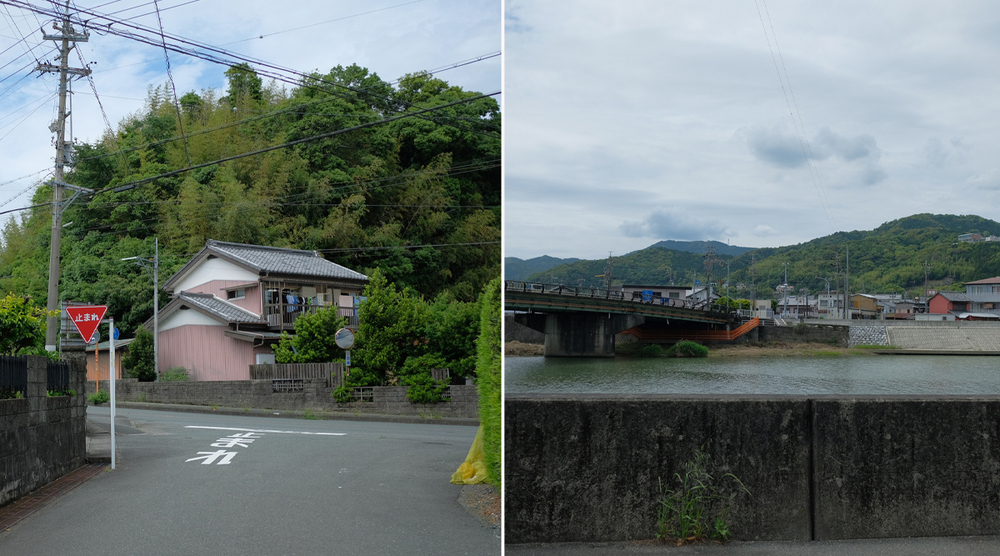
Cross the road now known as Hime Kaido and go around the Osakabe Castle ruins to reach the Miyakoda River.
In the past, there was a bridge at this location, and even earlier, people could cross by boat.
Walking along the old road up to this point follows the foot of the mountain, so it should be less taxing on the body than walking on the new, steep road that was built with the assumption that it would be used by car.
If you cross Ochiai Bridge, which spans the place where the Iinoya River and the Miyakoda River meet, you will find yourself at Kiga no Yado.
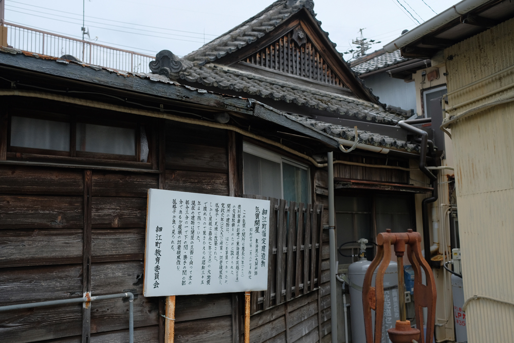
The Kiga Checkpoint was located at an intersection called Kiga Yotsukado.
Only the western roof remains, so please take a look.
I would like to finish this walk at Kiga Sekisho, the center of Kiga-juku.
How was it?
Even if you are familiar with the Hime-kaido road and pass by it on a daily basis, I don’t think you will spend much time exploring it.
However, there is a “path” in everyday life, and that path has drama.
It’s good to go far away, but you might discover something different from the usual by focusing on things that are close to you.
This is the course I walked this time.
From Amma starting point to Kiga Checkpoint. My record was 18.5km, 5 hours and 30 minutes (excluding breaks).
In the past, I would have walked about four and a half ri.
It is said that people in the past walked 8 to 10 ri a day, which is mind-boggling.
Well, the Hime Kaido road continues, and the Mikkabi area from here onwards is also interesting.
Walk there too. I would like to introduce them to you one after another.
Okuhamanako Tourism Center Blog:
「https://okuhamanakotourism.hamazo.tv/e9151849.html」
Reference material: Hamamatsu City Cultural Properties Booklet Walking along Hime Kaido (Hamamatsu City, 2016)
Exploring “The Sea Lake”: Hiking the Scenic Okuhamana Nature Trail